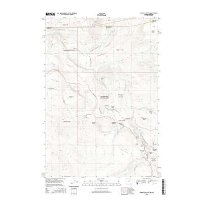
2015 Map of Tower Junction
USGS Topo · Published 2015About this map
Yellowstone National Park reveals its dramatic geological and historical layers in this survey of the northern backcountry. The Yellowstone River anchors the landscape, carving through the Black Canyon of the Yellowstone and leading toward the iconic Grand Canyon of the Yellowstone in the southeast. Historical points of interest like Yanceys and Roosevelt Ldg near Tower Junction mark early travel corridors, while Bannock Ford and Buffalo Ford indicate traditional river crossings used long before modern infrastructure.
Find a feature on this map
71 named features on this map. Tap any name to fly to it.
Don’t see what you’re looking for? This feature index may not catch every label — zoom into the map to look around manually.
Map Details
Editions of this 2015 Tower Junction Map
This is the sole edition of this map. No revisions or reprints were ever made.
Other maps of this area

1885 · Gallatin
USGS Topo · 1:125,000

1885 · Gallatin
USGS Topo · 1:125,000

1886 · Canyon
USGS Topo · 1:125,000

1891 · Livingston
USGS Topo · 1:250,000

1893 · Livingston
USGS Topo · 1:250,000

1895 · Canyon
USGS Topo · 1:125,000

1896 · Canyon
USGS Topo · 1:125,000

1901 · Canyon
USGS Topo · 1:125,000

1901 · Gallatin
USGS Topo · 1:125,000

1907 · Canyon
USGS Topo · 1:125,000