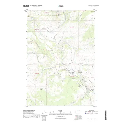
2017 Map of Tower Junction
USGS Topo · Published 2017About this map
Tower Junction serves as the focal point for this wilderness landscape, where the confluence of the Yellowstone River and the Lamar River dictates the movement of both modern travelers and historic routes. The map illustrates a complex network of trails and backcountry access points, such as the Stagecoach Road Trail and the Two Hour Horse Ride Trail, highlighting the area's long-standing role as a crossroads for exploration.
Find a feature on this map
76 named features on this map. Tap any name to fly to it.
Don’t see what you’re looking for? This feature index may not catch every label — zoom into the map to look around manually.
Map Details
Editions of this 2017 Tower Junction Map
This is the sole edition of this map. No revisions or reprints were ever made.
Other maps of this area

1885 · Gallatin
USGS Topo · 1:125,000

1885 · Gallatin
USGS Topo · 1:125,000

1886 · Canyon
USGS Topo · 1:125,000

1891 · Livingston
USGS Topo · 1:250,000

1893 · Livingston
USGS Topo · 1:250,000

1895 · Canyon
USGS Topo · 1:125,000

1896 · Canyon
USGS Topo · 1:125,000

1901 · Canyon
USGS Topo · 1:125,000

1901 · Gallatin
USGS Topo · 1:125,000

1907 · Canyon
USGS Topo · 1:125,000