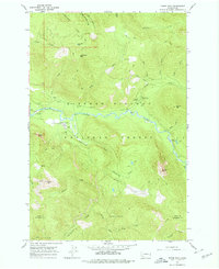
1965 Map of Tower Rock
USGS Topo · Published 1978About this map
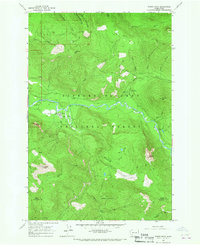
Gifford Pinchot National Forest dominates this mid-1960s landscape, centered on the winding Cispus River valley. The map documents a period of active federal land management, highlighted by the Cispus Job Corps Conservation Center and the North Fork Guard Station. These sites, along with the Trailer Park near the river, reflect the infrastructure required for forest operations and conservation programs during the Great Society era.
Find a feature on this map
53 named features on this map. Tap any name to fly to it.
Don’t see what you’re looking for? This feature index may not catch every label — zoom into the map to look around manually.
Map Details
Editions of this 1965 Tower Rock Map
2 editions found
Other maps of this area

1924 · Mt Rainier
USGS Topo · 1:96,000

1926 · Steamboat Mtn
USGS Topo · 1:125,000

1928 · Mt Rainier
USGS Topo · 1:125,000

1931 · Steamboat Mtn
USGS Topo · 1:125,000

1950 · Yakima
USGS Topo · 1:250,000

1958 · Yakima
USGS Topo · 1:250,000

1961 · Yakima
USGS Topo · 1:250,000

1962 · Randle
USGS Topo · 1:62,500

1962 · Packwood
USGS Topo · 1:62,500
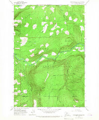
1965 · Greenhorn Buttes
USGS Topo · 1:24,000