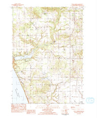
1983 Map of Town Corners
USGS Topo · Published 1983About this map
The Lake Michigan shoreline of Oceana County defines this 1983 survey, where the rugged bluffs of Lake Michigan meet a landscape of orchards, small woodlots, and inland waters. Moving inland from the coast, the topography is punctuated by Stony Lake, which is fed by Stony Creek and buffered by the Township Mem Park. This era of the landscape shows a clear division between the agricultural townships of Benona, Shelby, and Claybanks.
Find a feature on this map
44 named features on this map. Tap any name to fly to it.
Don’t see what you’re looking for? This feature index may not catch every label — zoom into the map to look around manually.
Map Details
Editions of this 1983 Town Corners Map
2 editions found
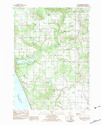
Other maps of this area

1929 · Montague
USGS Topo · 1:48,000

1931 · Hart NW
USGS Topo · 1:31,680

1931 · Hart SE
USGS Topo · 1:31,680

1931 · Hart NE
USGS Topo · 1:31,680

1954 · Milwaukee
USGS Topo · 1:250,000

1958 · Milwaukee
USGS Topo · 1:250,000

1959 · Montague
USGS Topo · 1:62,500

1959 · Hart
USGS Topo · 1:62,500

1976 · Montague NW
USGS Topo · 1:24,000
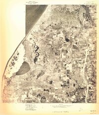
1976 · Hart NW
USGS Topo · 1:24,000