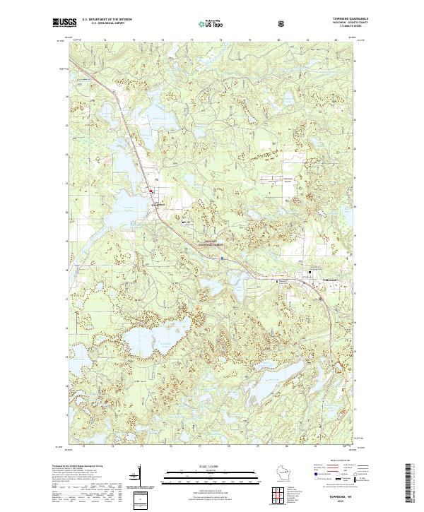
2022 Map of Townsend
USGS Topo · Published 2022About this map
The Townsend Flowage serves as a central landmark for this portion of the Nicolet National Forest, where the twin communities of Townsend and Lakewood define the local settlement pattern. This modern survey illustrates a landscape dominated by glacial lake clusters, ranging from the expansive Archibald Lake and Maiden Lake to smaller basins like Surprise Lake and Smoke Lake. The terrain is interconnected by the North Branch Oconto River and McCaslin Brook, reflecting a region deeply tied to water resources and forestry.
Find a feature on this map
64 named features on this map. Tap any name to fly to it.
Don’t see what you’re looking for? This feature index may not catch every label — zoom into the map to look around manually.
Map Details
Editions of this 2022 Townsend Map
This is the sole edition of this map. No revisions or reprints were ever made.
Other maps of this area

1940 · Thunder Mtn.
USGS Topo · 1:48,000

1942 · Breed
USGS Topo · 1:48,000

1942 · Wabeno
USGS Topo · 1:48,000

1950 · Wabeno
USGS Topo · 1:48,000

1951 · Wabeno
USGS Topo · 1:48,000

1951 · Thunder Mountain
USGS Topo · 1:48,000

1952 · Langlade
USGS Topo · 1:48,000

1952 · Mountain
USGS Topo · 1:48,000

1954 · Iron Mountain
USGS Topo · 1:250,000

1959 · Iron Mountain
USGS Topo · 1:250,000