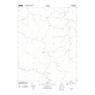
2011 Map of Trace
USGS Topo · Published 2011About this map
East Fork Twelvepole Creek carves a winding path through this corner of Mingo County, defining a landscape of narrow hollows and high ridges. The settlement pattern follows the water, with the community of McCloud established at the confluence of McCloud Branch and Pretty Branch. Further south, the town of Trace sits near the junction of Dingess Trace Branch RD and the main creek, reflecting the importance of these corridor-based routes in the Appalachian coalfields.
Find a feature on this map
92 named features on this map. Tap any name to fly to it.
Don’t see what you’re looking for? This feature index may not catch every label — zoom into the map to look around manually.
Map Details
Editions of this 2011 Trace Map
This is the sole edition of this map. No revisions or reprints were ever made.
Other maps of this area

1887 · Warfield
USGS Topo · 1:125,000

1891 · Warfield
USGS Topo · 1:125,000

1892 · Huntington
USGS Topo · 1:125,000

1898 · Huntington
USGS Topo · 1:125,000

1902 · Midkiff
USGS Topo · 1:62,500

1907 · Midkiff
USGS Topo · 1:62,500

1909 · Wayne
USGS Topo · 1:62,500

1909 · Midkiff
USGS Topo · 1:62,500

1910 · Holden
USGS Topo · 1:48,000

1910 · Naugatuck
USGS Topo · 1:48,000