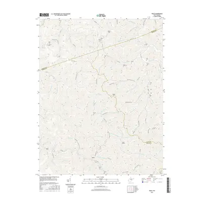
2016 Map of Trace
USGS Topo · Published 2016About this map
The rugged boundary lands where Lincoln, Logan, and Mingo counties meet are defined by an intricate network of narrow hollows and steep ridges. Small settlements like Trace and Kirk anchor the valley floors, while the landscape is dotted with family cemeteries that speak to generations of local residency, including the Williams Martin Cem, Mullins- Adams Cem, and Damron Cem. The drainage patterns of Kiah Cr and E Fork Twelvepole Cr dictated the early settlement footprints and road placements, such as Co HWY 1 and Hagerty Hollow Rd. Industrial influence is noted through the Argus Energy Rd, highlighting the region's connection to the Appalachian energy sector. Notable landmarks such as Hoover Knob and Bryan Ridge overlook a terrain shaped by the numerous branches and forks of the Twelvepole Creek watershed.
Find a feature on this map
93 named features on this map. Tap any name to fly to it.
Don’t see what you’re looking for? This feature index may not catch every label — zoom into the map to look around manually.
Map Details
Editions of this 2016 Trace Map
This is the sole edition of this map. No revisions or reprints were ever made.
Other maps of this area

1887 · Warfield
USGS Topo · 1:125,000

1891 · Warfield
USGS Topo · 1:125,000

1892 · Huntington
USGS Topo · 1:125,000

1898 · Huntington
USGS Topo · 1:125,000

1902 · Midkiff
USGS Topo · 1:62,500

1907 · Midkiff
USGS Topo · 1:62,500

1909 · Wayne
USGS Topo · 1:62,500

1909 · Midkiff
USGS Topo · 1:62,500

1910 · Holden
USGS Topo · 1:48,000

1910 · Naugatuck
USGS Topo · 1:48,000