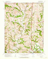
1961 Map of Tracy
USGS Topo · Published 1962About this map
The Platte River meanders through the heart of Platte County in the early 1960s, anchoring a landscape defined by small rail settlements and rural communities. Platte City and neighboring Tracy serve as the primary hubs in the south, while the Chicago Great Western railroad corridor dictates the placement of smaller stops like Settles Station, Woodruff, and Bonnell. This 1961 revision provides a detailed look at the rural infrastructure of the era, from the small Landing Strip near the river to the industrial presence of a Quarry near Haydite in the north.
Find a feature on this map
28 named features on this map. Tap any name to fly to it.
Don’t see what you’re looking for? This feature index may not catch every label — zoom into the map to look around manually.
Map Details
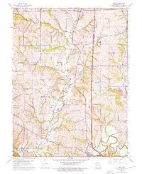
Editions of this 1961 Tracy Map
2 editions found
Other maps of this area

1890 · Kansas City
USGS Topo · 1:125,000

1894 · Kansas City
USGS Topo · 1:125,000

1910 · Leavenworth
USGS Topo · 1:62,500

1914 · Smithville
USGS Topo · 1:62,500

1925 · Gower
USGS Topo · 1:62,500

1927 · Dearborn
USGS Topo · 1:62,500

1948 · Leavenworth
USGS Topo · 1:62,500

1950 · Kansas City
USGS Topo · 1:250,000
1950 · Ferrelview
USGS Topo · 1:24,000
1950 · Platte City
USGS Topo · 1:24,000