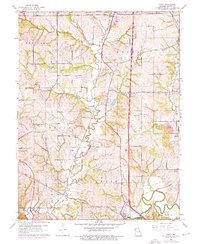
1961 Map of Tracy
USGS Topo · Published 1976About this map
Platte City anchors the southern portion of this landscape, situated along a sharp bend of the Platte River. The map illustrates a region transitioning between agricultural use and industrial development, characterized by the presence of the Haydite quarry in the north and the North Platte Airfield near the center. Transport and utility corridors are prominent, with the Chicago and North Western railroad line cutting through the terrain and the Old Railroad Grade marking a former transit path near the river. Genealogical interest is high throughout the Weston and Fair townships, where several landmarks like Pleasant Ridge Ch, Kitchen Cem, and Fulton Cem are clearly mapped. Smaller settlements such as Woodruff and Settles Station provide a look at the rural community structure of Platte County during the mid-20th century.
Find a feature on this map
33 named features on this map. Tap any name to fly to it.
Don’t see what you’re looking for? This feature index may not catch every label — zoom into the map to look around manually.
Map Details
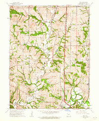
Editions of this 1961 Tracy Map
2 editions found
Other maps of this area

1890 · Kansas City
USGS Topo · 1:125,000

1894 · Kansas City
USGS Topo · 1:125,000

1910 · Leavenworth
USGS Topo · 1:62,500

1914 · Smithville
USGS Topo · 1:62,500

1925 · Gower
USGS Topo · 1:62,500

1927 · Dearborn
USGS Topo · 1:62,500

1948 · Leavenworth
USGS Topo · 1:62,500

1950 · Kansas City
USGS Topo · 1:250,000
1950 · Ferrelview
USGS Topo · 1:24,000
1950 · Platte City
USGS Topo · 1:24,000