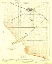
1916 Map of Tracy
USGS Topo · Published 1928About this map
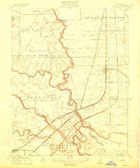
The railroad town of Tracy serves as the central hub of this 1912 survey, appearing as a gateway where major transport corridors converge. At the time of this mapping, the landscape is defined by the heavy presence of the Southern Pacific (Niles and Sacramento Line) and the Southern Pacific (San Francisco and New Orleans Line), which intersect near the town center. To the west, the former settlement of Ellis sits along the tracks, reflecting an earlier era of rail operations before the division point moved.
Find a feature on this map
10 named features on this map. Tap any name to fly to it.
Don’t see what you’re looking for? This feature index may not catch every label — zoom into the map to look around manually.
Map Details
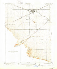
Editions of this 1916 Tracy Map
3 editions found
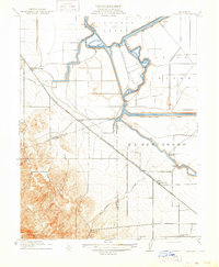
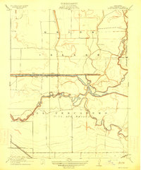
Other maps of this area

1907 · Tesla
USGS Topo · 1:62,500

1913 · Romain
USGS Topo · 1:31,680
1914 · Bethany
USGS Topo · 1:31,680
1914 · Union Island
USGS Topo · 1:31,680

1915 · Vernalis
USGS Topo · 1:31,680
1915 · Lathrop
USGS Topo · 1:31,680

1916 · Byron
USGS Topo · 1:62,500
1916 · Tracy
USGS Topo · 1:31,680
1916 · Romain
USGS Topo · 1:31,680
1916 · Midway
USGS Topo · 1:31,680