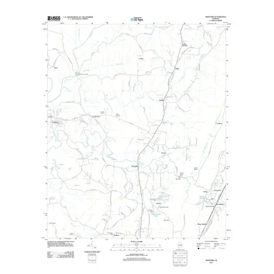
2011 Map of Trafford
USGS Topo · Published 2011About this map
Locust Fork winds through the northwestern corner of this Jefferson County landscape, where the Deans Ferry Bridge once stood as a primary crossing. The area is defined by a dense network of early settlements and rural communities, including Trafford, Lehigh, and Bradford. Genealogists will find a significant concentration of burial sites throughout the territory, such as Vandiver Cemetery, Lilly Chapel Cemetery, and Creel Cemetery, which often sit near established local post offices like the Trafford Post Office and Dixiana Post Office.
Find a feature on this map
119 named features on this map. Tap any name to fly to it.
Don’t see what you’re looking for? This feature index may not catch every label — zoom into the map to look around manually.
Map Details
Editions of this 2011 Trafford Map
This is the sole edition of this map. No revisions or reprints were ever made.
Other maps of this area

1889 · Birmingham
USGS Topo · 1:125,000

1892 · Birmingham
USGS Topo · 1:125,000

1895 · Birmingham
USGS Topo · 1:125,000

1904 · Birmingham Coal District
USGS Topo · 1:62,500

1905 · Leeds
USGS Topo · 1:62,500

1906 · Birmingham Special
USGS Topo · 1:62,500

1907 · Birmingham
USGS Topo · 1:125,000

1907 · Leeds
USGS Topo · 1:62,500

1951 · Warrior
USGS Topo · 1:24,000

1951 · Blount Springs
USGS Topo · 1:24,000