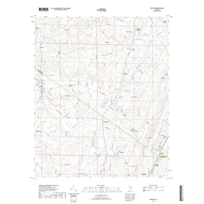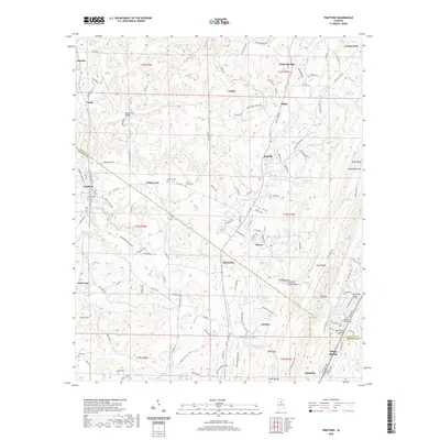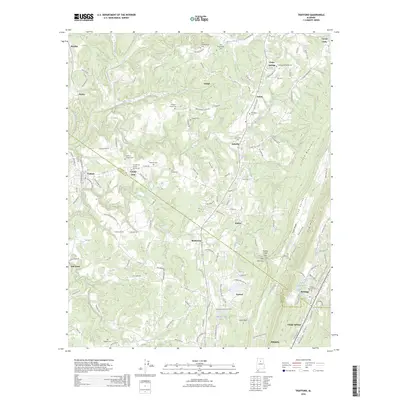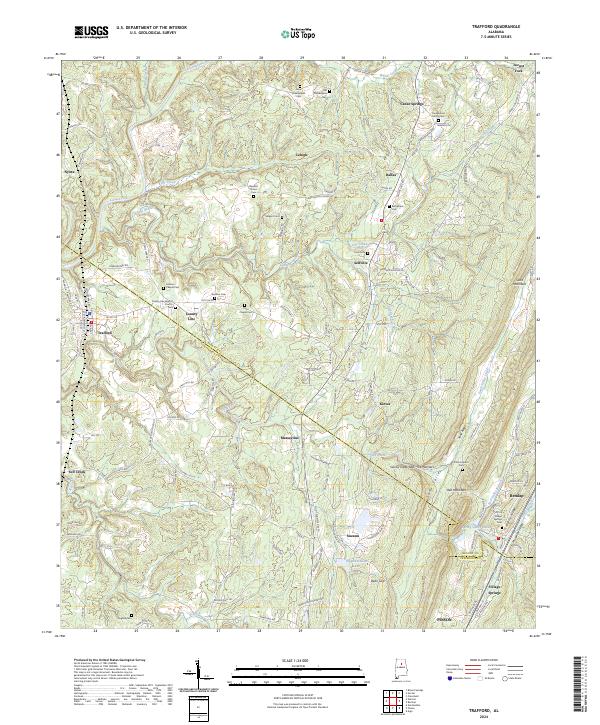
2024 Map of Trafford
USGS Topo · Published 2024About this map
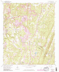
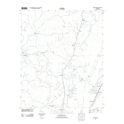
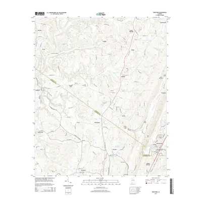
The Locust Fork river carves a winding path through this corner of the Alabama hill country, where the borders of Blount and Jefferson Counties meet. This landscape is defined by the prominent ridges of Sand Mountain and Red Mountain, with the deep Gurley Creek Gap cutting through the terrain. Small settlements and rural communities like Trafford, Lehigh, and Village Springs are scattered throughout the area, connected by a network of winding local roads such as County Road 153 and Old Tennessee Pike Road.
Find a feature on this map
150 named features on this map. Tap any name to fly to it.
Don’t see what you’re looking for? This feature index may not catch every label — zoom into the map to look around manually.
Map Details
Editions of this 2024 Trafford Map
This is the sole edition of this map. No revisions or reprints were ever made.
Historical Maps of Pinson Through Time
8 maps found