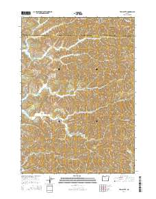
2014 Map of Trail Butte
USGS Topo · Published 2014About this map
Templeton and the surrounding coastal range of Coos County are defined by a complex network of ridges and drainages that have historically supported the timber and water-resource economies of southwestern Oregon. This 2014 survey captures the community around Templeton Cem, situated at the intersection of numerous watercourses including Johnson Creek, Adams Creek, and Roberts Creek. The landscape is dominated by significant elevations such as Tenmile Butte and Trail Butte, while the northern portion of the map shows the rugged divide of Scholfield Ridge and the peak of Twin Sisters. The proximity to the coast is evident in the presence of Tenmile Lake and North Tenmile Lake, while numerous logging roads and named ridges like Benson Ridge indicate the area's continued reliance on forest management. This map illustrates the transition from high ridgelines down to the tidal-influenced drainages of the West Fork Millicoma River.
Find a feature on this map
47 named features on this map. Tap any name to fly to it.
Don’t see what you’re looking for? This feature index may not catch every label — zoom into the map to look around manually.
Map Details
Editions of this 2014 Trail Butte Map
This is the sole edition of this map. No revisions or reprints were ever made.
Other maps of this area

1896 · Coos Bay
USGS Topo · 1:125,000

1898 · Coos Bay
USGS Topo · 1:125,000

1900 · Coos Bay
USGS Topo · 1:125,000

1923 · Reedsport
USGS Topo · 1:62,500

1928 · Sitkum
USGS Topo · 1:125,000

1942 · Reedsport
USGS Topo · 1:62,500

1942 · Coos Bay
USGS Topo · 1:62,500

1945 · Coos Bay
USGS Topo · 1:62,500

1954 · Coos Bay
USGS Topo · 1:250,000

1955 · Scottsburg
USGS Topo · 1:62,500