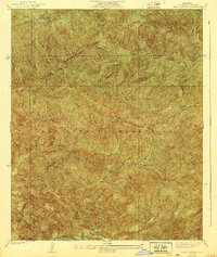
1940 Map of Trail Canyon
USGS Topo · Published 1940About this map
The San Gabriel Mountains dominate this 1940 edition, showing the high-elevation backcountry of the Angeles National Forest just before mid-century. Steep-walled drainages like South Fork Pacoima Canyon and Bear Canyon define the landscape, where water sources such as Yerba Buena Spring and the Big Cienega were critical waypoints for early forest travel. The map details a network of ridges and deep ravines, including Gold Canyon and Slaughter Canyon, anchored by prominent summits like Condor Peak and Iron Mtn.
Find a feature on this map
25 named features on this map. Tap any name to fly to it.
Don’t see what you’re looking for? This feature index may not catch every label — zoom into the map to look around manually.
Map Details
Editions of this 1940 Trail Canyon Map
4 editions found
Other maps of this area

1900 · Tujunga
USGS Topo · 1:62,500

1900 · Fernando
USGS Topo · 1:62,500

1901 · Southern California Sheet No. 1
USGS Topo · 1:250,000

1904 · Southern California Sheet No. 1
USGS Topo · 1:250,000
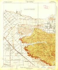
1926 · Sunland
USGS Topo · 1:24,000
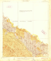
1928 · La Crescenta
USGS Topo · 1:24,000

1929 · Lang
USGS Topo · 1:24,000

1930 · Ravenna
USGS Topo · 1:24,000
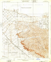
1932 · Sunland
USGS Topo · 1:24,000
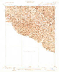
1933 · La Crescenta
USGS Topo · 1:24,000