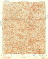
1940 Map of Trail Canyon
USGS Topo · Published 1949About this map
Angeles National Forest dominates this topographic study of the central San Gabriel Mountains during the late 1930s and 1940s. The landscape is defined by its drainage systems, including the North Fork Pacoima Creek and Pacoima Creek, which carve through deep canyons like Sold Iron Canyon and Noel Canyon. Evidence of early infrastructure and fire management is prominent, with multiple Firebreak lines and a Transmission Line cutting across the north-central high ground. For researchers of the California backcountry, the map identifies specific water sources vital to this arid environment, such as Yerba Buena Spring and Foster Spring, alongside established routes like the Indian Creek Trail and various unnamed trails. Elevations reach their peak at landmarks like Iron Mtn and Condor Peak, providing a clear picture of the region's complex geography before modern development.
Find a feature on this map
36 named features on this map. Tap any name to fly to it.
Don’t see what you’re looking for? This feature index may not catch every label — zoom into the map to look around manually.
Map Details
Editions of this 1940 Trail Canyon Map
4 editions found
Other maps of this area

1900 · Tujunga
USGS Topo · 1:62,500

1900 · Fernando
USGS Topo · 1:62,500

1901 · Southern California Sheet No. 1
USGS Topo · 1:250,000

1904 · Southern California Sheet No. 1
USGS Topo · 1:250,000
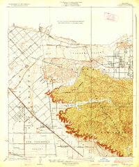
1926 · Sunland
USGS Topo · 1:24,000
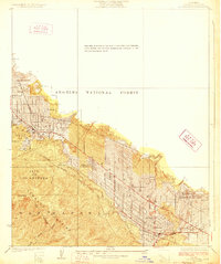
1928 · La Crescenta
USGS Topo · 1:24,000

1929 · Lang
USGS Topo · 1:24,000

1930 · Ravenna
USGS Topo · 1:24,000
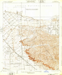
1932 · Sunland
USGS Topo · 1:24,000
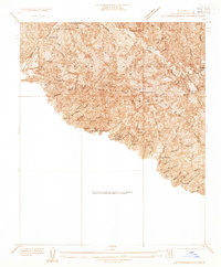
1933 · La Crescenta
USGS Topo · 1:24,000