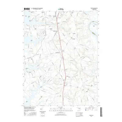
2016 Map of Trappe
USGS Topo · Published 2016About this map
Trappe serves as a central hub for this portion of the Eastern Shore, positioned along the Ocean Gateway as it passes through the heart of Talbot County. The landscape is defined by the intricate fingers of the Chesapeake Bay's tributaries, including the wide Choptank River to the east and the winding Peachblossom Creek to the north. These waterways create distinct geographic necks such as Baileys Neck and Oxford Neck, which have historically dictated the patterns of settlement and agriculture in the region.
Find a feature on this map
156 named features on this map. Tap any name to fly to it.
Don’t see what you’re looking for? This feature index may not catch every label — zoom into the map to look around manually.
Map Details
Editions of this 2016 Trappe Map
This is the sole edition of this map. No revisions or reprints were ever made.
Other maps of this area

1898 · Choptank
USGS Topo · 1:125,000
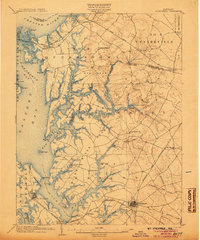
1904 · St. Michaels
USGS Topo · 1:62,500
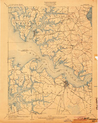
1904 · Oxford
USGS Topo · 1:62,500

1905 · Denton
USGS Topo · 1:62,500

1905 · Hurlock
USGS Topo · 1:62,500
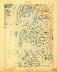
1908 · Choptank
USGS Topo · 1:125,000
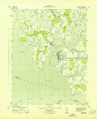
1942 · Oxford
USGS Topo · 1:31,680
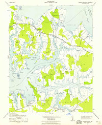
1942 · Church Creek
USGS Topo · 1:24,000
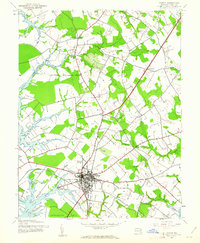
1942 · Easton
USGS Topo · 1:24,000
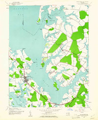
1942 · St. Michaels
USGS Topo · 1:24,000