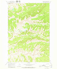
1964 Map of Trapper Peak
USGS Topo · Published 1979About this map
Trapper Peak rises as the dominant landmark of this high-elevation terrain in the mid-1960s, anchoring a landscape defined by glacial cirques and alpine lakes. The area is split by the Wilderness Boundary, which separates the managed lands of the Bitterroot National Forest from the protected Selway Bitterroot Wilderness. Access through this steep terrain is primarily limited to narrow routes like the Tin Cup Pack Trail, which follows the course of Tin Cup Creek. The map documents a complex system of drainage and storage, with numerous high-country water bodies such as Chaffin Lake, Tamarack Lake, and Baker Lake feeding the eastward-flowing creeks. Distinctive features like the ridge known as The Lonesome Bachelor and the prominent Sugarloaf Peak provide essential orientation for navigation through this backcountry.
Find a feature on this map
30 named features on this map. Tap any name to fly to it.
Don’t see what you’re looking for? This feature index may not catch every label — zoom into the map to look around manually.
Map Details
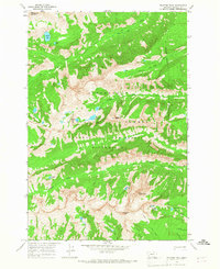
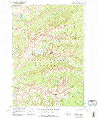
Editions of this 1964 Trapper Peak Map
3 editions found
Other maps of this area

1901 · Hamilton
USGS Topo · 1:125,000

1956 · Elk City
USGS Topo · 1:250,000

1956 · Hamilton
USGS Topo · 1:250,000

1959 · Hamilton
USGS Topo · 1:250,000

1960 · Elk City
USGS Topo · 1:250,000

1960 · Hamilton
USGS Topo · 1:250,000

1964 · Hamilton
USGS Topo · 1:250,000

1964 · Burnt Ridge
USGS Topo · 1:24,000

1964 · Boulder Peak
USGS Topo · 1:24,000

1964 · Darby
USGS Topo · 1:24,000