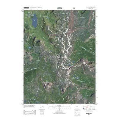
2013 Map of Trappers Lake
USGS Topo · Published 2013About this map
Trappers Lake serves as the centerpiece of this high-altitude wilderness, where the White River National Forest and Routt National Forest meet. The landscape is defined by the massive basaltic ramparts of The Flat Tops, including the striking Chinese Wall and the Amphitheatre formation. This 2013 survey details a transition from the riparian corridors of the North Fork White River and South Fork White River to the jagged elevations of Derby Peak and Trappers Peak.
Find a feature on this map
65 named features on this map. Tap any name to fly to it.
Don’t see what you’re looking for? This feature index may not catch every label — zoom into the map to look around manually.
Map Details
Editions of this 2013 Trappers Lake Map
This is the sole edition of this map. No revisions or reprints were ever made.
Other maps of this area

1927 · Glenwood Springs
USGS Topo · 1:125,000

1930 · Glenwood Springs
USGS Topo · 1:125,000

1954 · Craig
USGS Topo · 1:250,000

1957 · Craig
USGS Topo · 1:250,000

1957 · Leadville
USGS Topo · 1:250,000

1958 · Craig
USGS Topo · 1:250,000

1959 · Leadville
USGS Topo · 1:250,000

1960 · Leadville
USGS Topo · 1:250,000

1960 · Craig
USGS Topo · 1:250,000

1962 · Leadville
USGS Topo · 1:250,000