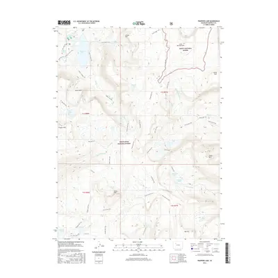
2016 Map of Trappers Lake
USGS Topo · Published 2016About this map
Trappers Lake sits at the heart of this high-elevation landscape, where the boundary between Routt National Forest and White River National Forest follows the ridgelines. The topography is defined by massive formations like the Chinese Wall and peaks such as Little Marvine Peaks and Trappers Peak. Drainage systems like the S Fork White River and Fraser Cr carve through the terrain, creating a complex network of alpine basins holding Island Lake, Mirror Lake, and Crescent Lake.
Find a feature on this map
54 named features on this map. Tap any name to fly to it.
Don’t see what you’re looking for? This feature index may not catch every label — zoom into the map to look around manually.
Map Details
Editions of this 2016 Trappers Lake Map
This is the sole edition of this map. No revisions or reprints were ever made.
Other maps of this area

1927 · Glenwood Springs
USGS Topo · 1:125,000

1930 · Glenwood Springs
USGS Topo · 1:125,000

1954 · Craig
USGS Topo · 1:250,000

1957 · Craig
USGS Topo · 1:250,000

1957 · Leadville
USGS Topo · 1:250,000

1958 · Craig
USGS Topo · 1:250,000

1959 · Leadville
USGS Topo · 1:250,000

1960 · Leadville
USGS Topo · 1:250,000

1960 · Craig
USGS Topo · 1:250,000

1962 · Leadville
USGS Topo · 1:250,000