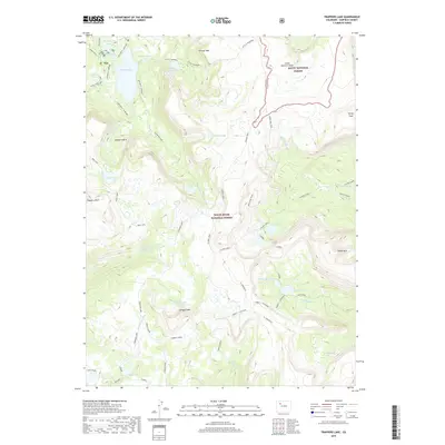
2019 Map of Trappers Lake
USGS Topo · Published 2019About this map
White River National Forest and Routt National Forest converge in this high-altitude landscape dominated by the sprawling waters of Trappers Lake. The area is defined by massive geological formations including the Chinese Wall and the Amphitheatre, which overlook a dense network of smaller alpine basins such as Mirror Lake, Island Lake, and Coffin Lake. The hydrology of the region serves as a headwater for the N Fork White River and S Fork White River, with drainage also flowing into Middle Fork Derby Cr. Transportation through this steep terrain is limited to historic paths like the Arthur H. Carhart Trail and the Wall Lake Trail, indicating a region managed for wilderness preservation and foot travel. Prominent summits including Himes Peak, Trappers Peak, and Shingle Peak provide the primary orientation points across the Garfield County backcountry.
Find a feature on this map
40 named features on this map. Tap any name to fly to it.
Don’t see what you’re looking for? This feature index may not catch every label — zoom into the map to look around manually.
Map Details
Editions of this 2019 Trappers Lake Map
This is the sole edition of this map. No revisions or reprints were ever made.
Other maps of this area

1927 · Glenwood Springs
USGS Topo · 1:125,000

1930 · Glenwood Springs
USGS Topo · 1:125,000

1954 · Craig
USGS Topo · 1:250,000

1957 · Craig
USGS Topo · 1:250,000

1957 · Leadville
USGS Topo · 1:250,000

1958 · Craig
USGS Topo · 1:250,000

1959 · Leadville
USGS Topo · 1:250,000

1960 · Leadville
USGS Topo · 1:250,000

1960 · Craig
USGS Topo · 1:250,000

1962 · Leadville
USGS Topo · 1:250,000