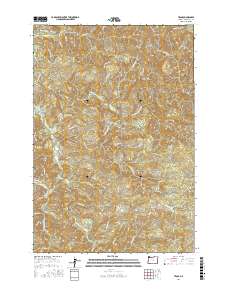
2017 Map of Trask
USGS Topo · Published 2017About this map
Wilson River and the North Fork Trask River dominate this portion of the Northern Oregon Coast Range, where the landscape is defined by steep drainages and logging access routes. The map documents a complex network of forest roads, including the historical Old Toll Rd and the Murphy Grade Rd, which trace the difficult elevation changes between Hembre Ridge and Eagle Hill. Notable water features such as the Narrows and the uniquely named The Crawdad Hole indicate specific river landmarks known to local navigators and anglers. The confluence of numerous tributaries like Bark Shanty Cr and Blue Bus Cr into the larger Trask River system illustrates the watershed's significance for regional drainage. This 2017 survey provides a detailed record of the resource roads and natural topography prior to any major modern landscape shifts in Tillamook County.
Find a feature on this map
45 named features on this map. Tap any name to fly to it.
Don’t see what you’re looking for? This feature index may not catch every label — zoom into the map to look around manually.
Map Details
Editions of this 2017 Trask Map
This is the sole edition of this map. No revisions or reprints were ever made.
Other maps of this area

1937 · Enright
USGS Topo · 1:62,500

1941 · Timber
USGS Topo · 1:62,500

1941 · Enright
USGS Topo · 1:62,500

1942 · Ginger Peak
USGS Topo · 1:62,500

1942 · Fairdale
USGS Topo · 1:62,500

1948 · Vancouver
USGS Topo · 1:250,000

1950 · Vancouver
USGS Topo · 1:250,000

1950 · Vancouver
USGS Topo · 1:250,000

1955 · Blaine
USGS Topo · 1:62,500

1955 · Timber
USGS Topo · 1:62,500