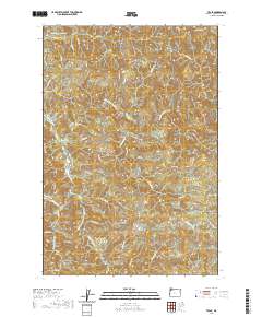
2020 Map of Trask
USGS Topo · Published 2020About this map
Hembre Ridge and Eagle Hill dominate this heavily dissected landscape within the Northern Oregon Coast Range. The complex drainage network is centered on the North Fork Trask River and the West Fork South Fork Trask River, which carve through deep valleys to support local landmarks like The Craidad Hole. This area, primarily defined by its timber and watershed value, maintains a network of access points such as Old Toll Rd and Murphy Grade Rd that follow the natural contours of the steep terrain.
Find a feature on this map
41 named features on this map. Tap any name to fly to it.
Don’t see what you’re looking for? This feature index may not catch every label — zoom into the map to look around manually.
Map Details
Editions of this 2020 Trask Map
This is the sole edition of this map. No revisions or reprints were ever made.
Other maps of this area

1937 · Enright
USGS Topo · 1:62,500

1941 · Timber
USGS Topo · 1:62,500

1941 · Enright
USGS Topo · 1:62,500

1942 · Ginger Peak
USGS Topo · 1:62,500

1942 · Fairdale
USGS Topo · 1:62,500

1948 · Vancouver
USGS Topo · 1:250,000

1950 · Vancouver
USGS Topo · 1:250,000

1950 · Vancouver
USGS Topo · 1:250,000

1955 · Blaine
USGS Topo · 1:62,500

1955 · Timber
USGS Topo · 1:62,500