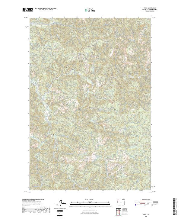
2024 Map of Trask
USGS Topo · Published 2024About this map
Hembre Ridge and the complex drainage of the northern Oregon Coast Range define this landscape, where the Trask River and its multiple forks converge. This 2024 survey detail shows a region heavily shaped by forest management and the legacy of early transportation, most notably along the Old Toll Rd and the winding Trask River Rd. The terrain is deeply incised by countless waterways, including Bark Shanty Creek, Blue Bus Creek, and Steamboat Creek.
Find a feature on this map
41 named features on this map. Tap any name to fly to it.
Don’t see what you’re looking for? This feature index may not catch every label — zoom into the map to look around manually.
Map Details
Editions of this 2024 Trask Map
This is the sole edition of this map. No revisions or reprints were ever made.
Other maps of this area

1937 · Enright
USGS Topo · 1:62,500

1941 · Timber
USGS Topo · 1:62,500

1941 · Enright
USGS Topo · 1:62,500

1942 · Ginger Peak
USGS Topo · 1:62,500

1942 · Fairdale
USGS Topo · 1:62,500

1948 · Vancouver
USGS Topo · 1:250,000

1950 · Vancouver
USGS Topo · 1:250,000

1950 · Vancouver
USGS Topo · 1:250,000

1955 · Blaine
USGS Topo · 1:62,500

1955 · Timber
USGS Topo · 1:62,500