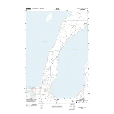
2011 Map of Traverse City SE
USGS Topo · Published 2011About this map
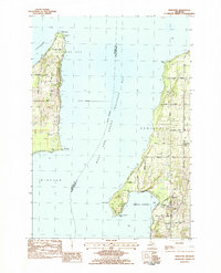
Traverse City anchors the shoreline where the West Arm and East Arm of Lake Michigan divide around the Old Mission Peninsula. This coastal landscape is defined by its maritime infrastructure and established community landmarks, from the West Pier Light and Duncan L. Clinch Yacht Harbor to the Clinch Park Zoo. The topography rises toward Carpenter Hill on the peninsula, providing a contrast to the low-lying wetlands around Boardman Lake and the mouth of the Boardman River.
Find a feature on this map
51 named features on this map. Tap any name to fly to it.
Don’t see what you’re looking for? This feature index may not catch every label — zoom into the map to look around manually.
Map Details
Editions of this 2011 Traverse City SE Map
This is the sole edition of this map. No revisions or reprints were ever made.
Other maps of this area

1954 · Traverse City
USGS Topo · 1:250,000
1956 · Fife Lake
USGS Topo · 1:62,500
1956 · Kingsley
USGS Topo · 1:62,500
1957 · Traverse City
USGS Topo · 1:62,500
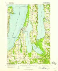
1957 · Elk Rapids
USGS Topo · 1:62,500

1958 · Traverse City
USGS Topo · 1:250,000
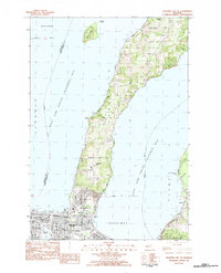
1983 · Traverse City SE
USGS Topo · 1:25,000
1983 · Traverse City
USGS Topo · 1:100,000
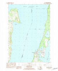
1983 · Elk Rapids
USGS Topo · 1:25,000
1983 · Mapleton
USGS Topo · 1:25,000