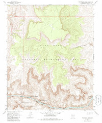
1967 Map of Travertine Rapids
USGS Topo · Published 1986About this map
The Lower Colorado River carves a deep path through the Granite Gorge in this Mohave County landscape, recorded during the late 1960s. The southern bank is defined by the Hualapai Indian Reservation, while the northern reaches fall within the Lake Mead National Recreation Area. The river's character here is defined by significant navigational hazards and landmarks, including the namesake Travertine Rapids, Travertine Falls, and Diamond Creek Rapids. This reach of the river is meticulously marked by river mileages, with features like Two Hundred and Thirtyone Mile Rapids providing exact locations for river travelers. To the north, the elevation rises sharply toward the Shivwits Plateau and Kelly Point, while the terrain is dissected by deep cuts like Two Hundred and Twentymile Canyon.
Find a feature on this map
13 named features on this map. Tap any name to fly to it.
Don’t see what you’re looking for? This feature index may not catch every label — zoom into the map to look around manually.
Map Details
Editions of this 1967 Travertine Rapids Map
2 editions found
Other maps of this area

1886 · Diamond Creek
USGS Topo · 1:250,000

1892 · Diamond Creek
USGS Topo · 1:250,000

1948 · Williams
USGS Topo · 1:250,000

1954 · Williams
USGS Topo · 1:250,000

1956 · Williams
USGS Topo · 1:250,000

1960 · Williams
USGS Topo · 1:250,000

1961 · Williams
USGS Topo · 1:250,000
1967 · Granite Park
USGS Topo · 1:24,000
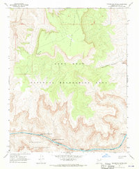
1967 · Travertine Rapids
USGS Topo · 1:24,000
1967 · Peach Springs Canyon
USGS Topo · 1:24,000