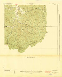
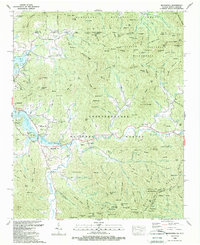
1938 Map of Tray Mountain
USGS Topo · Published 1938About this map
Mountain Scene sits at the northern edge of this high-elevation terrain, where the headwaters of the Hiwassee River are fed by mountain streams like England Mill Creek. This 1938 survey, conducted by the Tennessee Valley Authority and the USGS, documents a critical landscape within the Chattahoochee National Forest during the height of the New Deal era. Evidence of federal infrastructure is clear at CCC Camp No F 15, while the legendary Appalachian Trail winds through the southern peaks, connecting Unicoi Gap to the Mt Airy Shelter near the summit of Tray Mountain.
Find a feature on this map
77 named features on this map. Tap any name to fly to it.
Don’t see what you’re looking for? This feature index may not catch every label — zoom into the map to look around manually.
Map Details
Editions of this 1938 Tray Mountain Map
3 editions found
Historical Maps of Mountain Scene Through Time
18 maps found

1935 Osborn
Towns County, GA
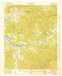
1935 Tray Mountain
Towns County, GA
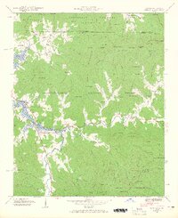
1938 Tray Mountain
Towns County, GA
1941 Osborn
Towns County, GA
1943 Osborn
Towns County, GA
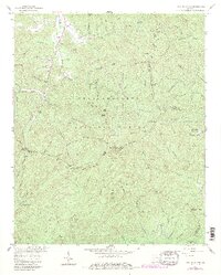
1957 Tray Mountain
Towns County, GA
1966 Macedonia
Towns County, GA
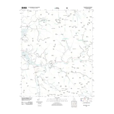
1988 Macedonia
Towns County, GA
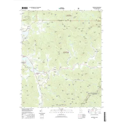
2011 Macedonia
Towns County, GA
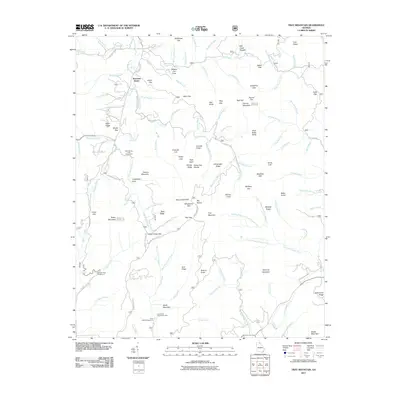
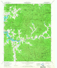
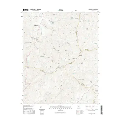
2011 Tray Mountain
Towns County, GA
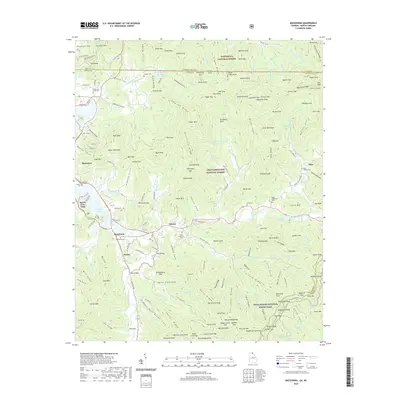
2014 Macedonia
Towns County, GA
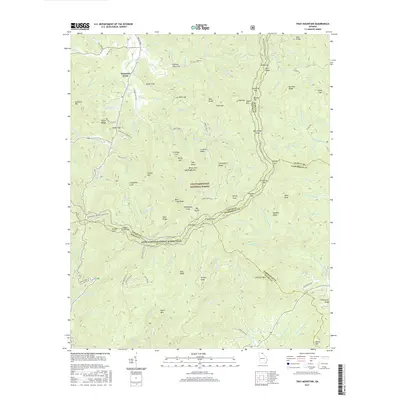
2014 Tray Mountain
Towns County, GA
2017 Macedonia
Towns County, GA
2017 Tray Mountain
Towns County, GA
2020 Macedonia
Towns County, GA
2020 Tray Mountain
Towns County, GA
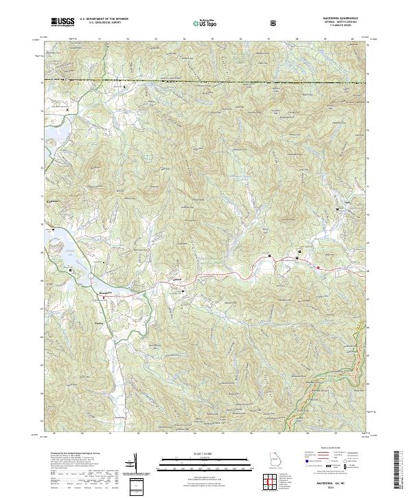
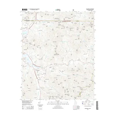
2024 Macedonia
Towns County, GA
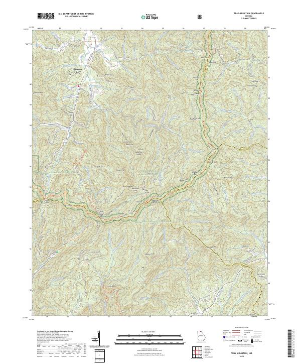
2024 Tray Mountain
Towns County, GA