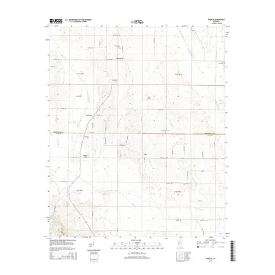
2015 Map of Trebloc
USGS Topo · Published 2015About this map
The boundary between Chickasaw Co and Clay Co divides this rural landscape, defined by a network of creeks and small farming communities. Settlements like McCondy and Trebloc anchor the northern portion of the region, while the southern reaches are marked by Barrs Mill and Una. The map reveals a high concentration of burial grounds, providing significant genealogical leads through sites like Macedonia Cem, Thornton Cem, and Zion Spring Cem. Local hydrography is dominated by the winding paths of Chuquatonchee Creek and Houlka Cr, which likely shaped early settlement patterns and land use. This survey captures the modern road infrastructure, including MS-382, while maintaining the locations of older landmarks that have long defined this portion of Mississippi.
Find a feature on this map
62 named features on this map. Tap any name to fly to it.
Don’t see what you’re looking for? This feature index may not catch every label — zoom into the map to look around manually.
Map Details
Editions of this 2015 Trebloc Map
This is the sole edition of this map. No revisions or reprints were ever made.
Other maps of this area

1953 · West Point
USGS Topo · 1:250,000

1958 · West Point
USGS Topo · 1:250,000

1959 · West Point
USGS Topo · 1:62,500

1959 · Van Vleet
USGS Topo · 1:62,500

1959 · Pheba
USGS Topo · 1:62,500

1963 · West Point
USGS Topo · 1:250,000

1965 · Egypt
USGS Topo · 1:24,000

1966 · Prairie
USGS Topo · 1:24,000

1982 · West Point
USGS Topo · 1:100,000

1984 · West Point
USGS Topo · 1:250,000