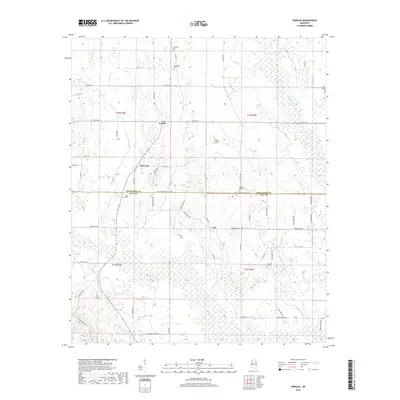
2018 Map of Trebloc
USGS Topo · Published 2018About this map
Trebloc and McCondy occupy the northern reaches of this rural Mississippi landscape, situated along the north-south corridor of State Hwy 47. This agricultural area is defined by its numerous family and community cemeteries, including Mixon Cem and Pleasant Plain Cem, which provide significant points of reference for genealogists and local historians. The landscape is bisected by the Chickasaw Co Clay Co boundary line, where the terrain transitions from upland ridges to the bottomlands of the Chuquatonchee Cr.
Find a feature on this map
69 named features on this map. Tap any name to fly to it.
Don’t see what you’re looking for? This feature index may not catch every label — zoom into the map to look around manually.
Map Details
Editions of this 2018 Trebloc Map
This is the sole edition of this map. No revisions or reprints were ever made.
Other maps of this area

1953 · West Point
USGS Topo · 1:250,000

1958 · West Point
USGS Topo · 1:250,000

1959 · West Point
USGS Topo · 1:62,500

1959 · Van Vleet
USGS Topo · 1:62,500

1959 · Pheba
USGS Topo · 1:62,500

1963 · West Point
USGS Topo · 1:250,000

1965 · Egypt
USGS Topo · 1:24,000

1966 · Prairie
USGS Topo · 1:24,000

1982 · West Point
USGS Topo · 1:100,000

1984 · West Point
USGS Topo · 1:250,000