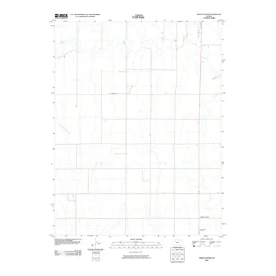
2010 Map of Trego Center
USGS Topo · Published 2010About this map
Trego Center sits as a quiet focal point in the central plains of Kansas, serving as the namesake for this 2010 USGS quadrangle. The landscape is defined by the branching drainages of Big Creek in the northern portion and the headwaters of Downer Creek, which includes the winding East Branch Downer Creek to the southwest. This map documents a sparsely populated agricultural region where the section-line road network is broken only by these subtle watercourses and the utilitarian Landfill Rd. For genealogists and local historians, the Zion Lutheran Cemetery provides a specific point of interest, marking a historical site of community and faith in this rural Trego County township.
Find a feature on this map
7 named features on this map. Tap any name to fly to it.
Don’t see what you’re looking for? This feature index may not catch every label — zoom into the map to look around manually.
Map Details
Editions of this 2010 Trego Center Map
This is the sole edition of this map. No revisions or reprints were ever made.
Other maps of this area

1893 · Ellis
USGS Topo · 1:125,000

1893 · Hill
USGS Topo · 1:125,000

1954 · Goodland
USGS Topo · 1:250,000

1955 · Great Bend
USGS Topo · 1:250,000

1955 · Scott City
USGS Topo · 1:250,000

1955 · Beloit
USGS Topo · 1:250,000

1956 · Goodland
USGS Topo · 1:250,000

1957 · Goodland
USGS Topo · 1:250,000

1957 · Great Bend
USGS Topo · 1:250,000

1958 · Great Bend
USGS Topo · 1:250,000