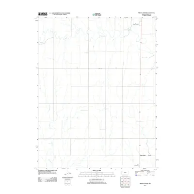
2012 Map of Trego Center
USGS Topo · Published 2012About this map
Trego Center serves as the focal point of this rural Trego County landscape, illustrating a characteristic High Plains settlement pattern defined by isolated landmarks and watercourses. The local community identity is anchored by the Zion Lutheran Cem, situated in the southern portion of the quadrangle. This area of Kansas is defined by the winding paths of Big Cr in the north and the branching tributaries of Downer Cr and E Br Downer Cr to the southwest, which dictate the placement of roads and farmsteads. While much of the land is dedicated to agricultural use, the presence of the Big Creek Golf Course along the northern creek bank indicates a modern shift in land use, blending traditional rural life with recreational development. The straight lines of Landfill Rd underscore the systematic grid of the township, typical of the region's late 20th and early 21st-century infrastructure.
Find a feature on this map
8 named features on this map. Tap any name to fly to it.
Don’t see what you’re looking for? This feature index may not catch every label — zoom into the map to look around manually.
Map Details
Editions of this 2012 Trego Center Map
This is the sole edition of this map. No revisions or reprints were ever made.
Other maps of this area

1893 · Ellis
USGS Topo · 1:125,000

1893 · Hill
USGS Topo · 1:125,000

1954 · Goodland
USGS Topo · 1:250,000

1955 · Great Bend
USGS Topo · 1:250,000

1955 · Scott City
USGS Topo · 1:250,000

1955 · Beloit
USGS Topo · 1:250,000

1956 · Goodland
USGS Topo · 1:250,000

1957 · Goodland
USGS Topo · 1:250,000

1957 · Great Bend
USGS Topo · 1:250,000

1958 · Great Bend
USGS Topo · 1:250,000