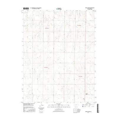
2015 Map of Trego Center
USGS Topo · Published 2015About this map
Trego Center sits at the intersection of a vast grid of section roads in this High Plains landscape. The area is defined by the headwaters and drainage of Big Cr in the north and Downer Cr to the south, including its East Br Downer Cr tributary. The settlement pattern follows the Public Land Survey System, with roads such as R RD and 240 Ave forming a precise mile-by-mile network that organizes the agricultural terrain. Located near the southern edge of the quadrangle, the Zion Lutheran Cem serves as a significant landmark for genealogical research and local heritage, representing the community's spiritual and social center. This survey provides a clear view of the rural infrastructure and natural drainage patterns that have shaped Trego County for generations.
Find a feature on this map
23 named features on this map. Tap any name to fly to it.
Don’t see what you’re looking for? This feature index may not catch every label — zoom into the map to look around manually.
Map Details
Editions of this 2015 Trego Center Map
This is the sole edition of this map. No revisions or reprints were ever made.
Other maps of this area

1893 · Ellis
USGS Topo · 1:125,000

1893 · Hill
USGS Topo · 1:125,000

1954 · Goodland
USGS Topo · 1:250,000

1955 · Great Bend
USGS Topo · 1:250,000

1955 · Scott City
USGS Topo · 1:250,000

1955 · Beloit
USGS Topo · 1:250,000

1956 · Goodland
USGS Topo · 1:250,000

1957 · Goodland
USGS Topo · 1:250,000

1957 · Great Bend
USGS Topo · 1:250,000

1958 · Great Bend
USGS Topo · 1:250,000