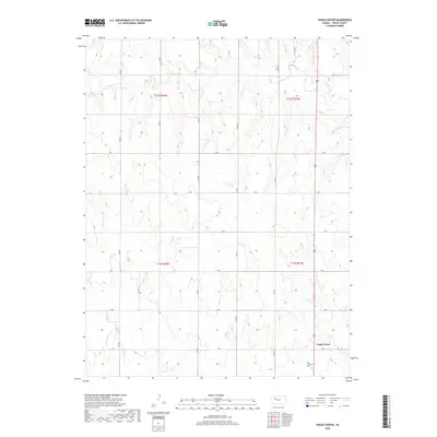
2018 Map of Trego Center
USGS Topo · Published 2018About this map
Trego Center sits at the intersection of a vast grid of section roads in this central Kansas agricultural landscape. The township structure is defined by routes like R Rd and 240 Ave, which facilitate the movement of grain and livestock across the prairie. The small community hub is anchored by the Zion Lutheran Cem, serving as a permanent record of the families who settled this part of Trego County.
Find a feature on this map
25 named features on this map. Tap any name to fly to it.
Don’t see what you’re looking for? This feature index may not catch every label — zoom into the map to look around manually.
Map Details
Editions of this 2018 Trego Center Map
This is the sole edition of this map. No revisions or reprints were ever made.
Other maps of this area

1893 · Ellis
USGS Topo · 1:125,000

1893 · Hill
USGS Topo · 1:125,000

1954 · Goodland
USGS Topo · 1:250,000

1955 · Great Bend
USGS Topo · 1:250,000

1955 · Scott City
USGS Topo · 1:250,000

1955 · Beloit
USGS Topo · 1:250,000

1956 · Goodland
USGS Topo · 1:250,000

1957 · Goodland
USGS Topo · 1:250,000

1957 · Great Bend
USGS Topo · 1:250,000

1958 · Great Bend
USGS Topo · 1:250,000