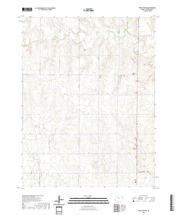
2022 Map of Trego Center
USGS Topo · Published 2022About this map
Trego Center serves as the focal point for this section of the Kansas High Plains, characterized by a structured grid of rural roads and rolling prairie drainage. The landscape is defined by the winding course of Big Cr in the north and the upper reaches of Downer Cr and its eastern branch, E Br Downer Cr, which carve subtle valleys through the agricultural sections. This area reflects the late-twentieth-century rural organization of Trego County, where life centers on isolated farmsteads and small community anchors. One such landmark is the Zion Lutheran Cem, which stands as a significant site for genealogical research, marking the location of an enduring local congregation. The map's network of section-line roads, such as 220 Ave and R Rd, illustrates the persistent township and range system that has governed land division in the region for over a century.
Find a feature on this map
24 named features on this map. Tap any name to fly to it.
Don’t see what you’re looking for? This feature index may not catch every label — zoom into the map to look around manually.
Map Details
Editions of this 2022 Trego Center Map
This is the sole edition of this map. No revisions or reprints were ever made.
Other maps of this area

1893 · Ellis
USGS Topo · 1:125,000

1893 · Hill
USGS Topo · 1:125,000

1954 · Goodland
USGS Topo · 1:250,000

1955 · Great Bend
USGS Topo · 1:250,000

1955 · Scott City
USGS Topo · 1:250,000

1955 · Beloit
USGS Topo · 1:250,000

1956 · Goodland
USGS Topo · 1:250,000

1957 · Goodland
USGS Topo · 1:250,000

1957 · Great Bend
USGS Topo · 1:250,000

1958 · Great Bend
USGS Topo · 1:250,000