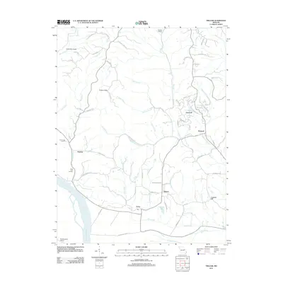
2012 Map of Treloar
USGS Topo · Published 2012About this map
Treloar and the surrounding river bottomlands define this portion of Warren County, where the Missouri River forms the southern boundary of the map. The landscape transitions from the broad alluvial plains of Pinckney Bottom Rd and the marshy Peers Slough into the rising elevations of Pinckney Ridge. Settled communities like Holstein, Concord Hill, and Hopewell serve as local hubs, connected by a network of rural routes such as Smith Creek Rd and Hoelscher Rd. For genealogists and local historians, the placement of Saint Johns Cemetery, Smith Creek Cemetery, and Emmanuel Cemetery provides precise locations for tracing family roots in this agricultural region. Notable water features like Kochs Creek, Smith Creek, and Duncan Lake demonstrate the drainage patterns that have historically shaped local land use and settlement near the river.
Find a feature on this map
72 named features on this map. Tap any name to fly to it.
Don’t see what you’re looking for? This feature index may not catch every label — zoom into the map to look around manually.
Map Details
Editions of this 2012 Treloar Map
This is the sole edition of this map. No revisions or reprints were ever made.
Other maps of this area

1890 · Hermann
USGS Topo · 1:125,000

1936 · Hermann
USGS Topo · 1:48,000

1942 · Hermann
USGS Topo · 1:62,500

1942 · New Florence
USGS Topo · 1:62,500

1943 · Warrenton
USGS Topo · 1:62,500

1945 · Hermann
USGS Topo · 1:62,500

1945 · Warrenton
USGS Topo · 1:62,500

1946 · New Florence
USGS Topo · 1:62,500

1948 · Washington
USGS Topo · 1:62,500

1949 · Saint Louis
USGS Topo · 1:250,000