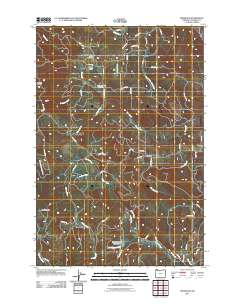
2011 Map of Trenholm
USGS Topo · Published 2011About this map
Shiloh Basin and the surrounding Columbia County timberlands are defined by a complex network of forest roads and winding watercourses. This 2011 survey captures the area’s rural character through established community sites like the Shiloh Basin Cemetery and Goble Cemetery, alongside the small settlements of Canaan and Trenholm. The landscape is a high-relief interior dominated by the drainage basins of Milton Creek and Tide Creek, where elevation gains lead to prominent vantage points such as Meissner Lookout and Serafin Point.
Find a feature on this map
62 named features on this map. Tap any name to fly to it.
Don’t see what you’re looking for? This feature index may not catch every label — zoom into the map to look around manually.
Map Details
Editions of this 2011 Trenholm Map
This is the sole edition of this map. No revisions or reprints were ever made.
Other maps of this area

1919 · Mayger
USGS Topo · 1:62,500

1921 · Kalama
USGS Topo · 1:62,500

1922 · St. Helens
USGS Topo · 1:62,500

1940 · Vernonia
USGS Topo · 1:62,500

1941 · St Helens
USGS Topo · 1:62,500

1941 · Clatskanie
USGS Topo · 1:62,500

1943 · Vernonia
USGS Topo · 1:62,500

1943 · St Helens
USGS Topo · 1:62,500

1948 · Vancouver
USGS Topo · 1:250,000

1950 · Vancouver
USGS Topo · 1:250,000