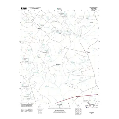
2011 Map of Trenton
USGS Topo · Published 2011About this map
Trenton anchors the northern portion of this South Carolina landscape, surrounded by a complex network of small water bodies and rural crossings. The area around Pine House Crossroads and Rotalata reveals a region defined by agricultural history and local family legacy, evidenced by numerous named cemeteries such as Wicker, Nicholson, and Fields. The terrain is characterized by the headwaters of Horse Creek and its many tributaries, which are punctuated by small dams and private reservoirs like Harrison Pond and Simons Lake. Aviation infrastructure also marks the landscape, with both the Edgefield County Airport and the smaller Twin Lakes Airport serving the area. This 2011 documentation captures the transition between organized settlements like Eureka and Sunny Brook and the wooded drainage basins of Shaw Creek and Beaverdam Branch.
Find a feature on this map
132 named features on this map. Tap any name to fly to it.
Don’t see what you’re looking for? This feature index may not catch every label — zoom into the map to look around manually.
Map Details
Editions of this 2011 Trenton Map
This is the sole edition of this map. No revisions or reprints were ever made.
Other maps of this area

1920 · Aiken
USGS Topo · 1:48,000

1921 · Aiken
USGS Topo · 1:62,500

1923 · Warrenville
USGS Topo · 1:48,000

1928 · Warrenville
USGS Topo · 1:62,500

1943 · Aiken
USGS Topo · 1:62,500

1943 · Warrenville
USGS Topo · 1:62,500

1954 · Augusta
USGS Topo · 1:250,000

1957 · Augusta
USGS Topo · 1:250,000

1958 · Augusta
USGS Topo · 1:250,000

1961 · Augusta
USGS Topo · 1:250,000