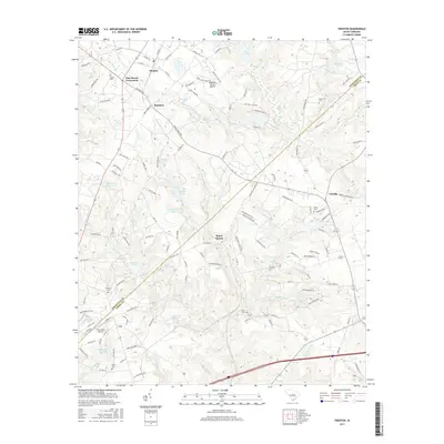
2017 Map of Trenton
USGS Topo · Published 2017About this map
Trenton and Pine House Crossroads anchor this landscape along the border of Edgefield and Aiken Counties, where the Piedmont begins its transition toward the Sandhills. The area is defined by a dense network of small watercourses like Little Horse Cr and Shaw Cr, feeding into numerous named bodies of water such as Smiths Lake and Harrison Pond. The map reveals a mix of agricultural heritage and modern utility, with the Edgefield County Airport positioned near the small settlement of Rotalata.
Find a feature on this map
119 named features on this map. Tap any name to fly to it.
Don’t see what you’re looking for? This feature index may not catch every label — zoom into the map to look around manually.
Map Details
Editions of this 2017 Trenton Map
This is the sole edition of this map. No revisions or reprints were ever made.
Other maps of this area

1920 · Aiken
USGS Topo · 1:48,000

1921 · Aiken
USGS Topo · 1:62,500

1923 · Warrenville
USGS Topo · 1:48,000

1928 · Warrenville
USGS Topo · 1:62,500

1943 · Aiken
USGS Topo · 1:62,500

1943 · Warrenville
USGS Topo · 1:62,500

1954 · Augusta
USGS Topo · 1:250,000

1957 · Augusta
USGS Topo · 1:250,000

1958 · Augusta
USGS Topo · 1:250,000

1961 · Augusta
USGS Topo · 1:250,000