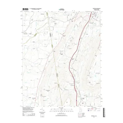
2014 Map of Trenton
USGS Topo · Published 2014About this map
Lookout Mountain and the high plateau of Sand Mountain dominate the geography along the border of Georgia and Alabama in this modern survey. The rugged topography of Lookout Valley and Deer Head Cove dictates the settlement patterns, with communities like Trenton, Rising Fawn, and Higdon established where the terrain allows. The map reveals a high concentration of family and community cemeteries, including Daniel Cem, Newman Cem, and Countess Cem, which provide significant data points for genealogical research in this rural region.
Find a feature on this map
174 named features on this map. Tap any name to fly to it.
Don’t see what you’re looking for? This feature index may not catch every label — zoom into the map to look around manually.
Map Details
Editions of this 2014 Trenton Map
This is the sole edition of this map. No revisions or reprints were ever made.
Other maps of this area

1886 · Ringgold
USGS Topo · 1:125,000

1886 · Stevenson
USGS Topo · 1:125,000

1892 · Ringgold
USGS Topo · 1:125,000

1892 · Stevenson
USGS Topo · 1:125,000

1895 · Stevenson
USGS Topo · 1:125,000

1935 · Durham
USGS Topo · 1:24,000

1936 · Trenton
USGS Topo · 1:24,000

1936 · Ider
USGS Topo · 1:24,000

1936 · Shellmound
USGS Topo · 1:24,000

1936 · Bridgeport
USGS Topo · 1:24,000