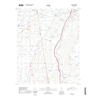
2020 Map of Trenton
USGS Topo · Published 2020About this map
Lookout Mountain and Sand Mountain dominate this landscape along the border of Georgia and Alabama, framing the deep corridor of Lookout Valley. The county seat of Trenton sits at the northern end of this valley, where the Dade County Courthouse serves as a central landmark for the surrounding communities of Rising Fawn, Union, and Gass. The topography is defined by sharp elevation changes, with numerous gaps and gulches providing passage through the ridges, such as Magby Gap, Brown Gap, and Stewart Gulch.
Find a feature on this map
170 named features on this map. Tap any name to fly to it.
Don’t see what you’re looking for? This feature index may not catch every label — zoom into the map to look around manually.
Map Details
Editions of this 2020 Trenton Map
This is the sole edition of this map. No revisions or reprints were ever made.
Other maps of this area

1886 · Ringgold
USGS Topo · 1:125,000

1886 · Stevenson
USGS Topo · 1:125,000

1892 · Ringgold
USGS Topo · 1:125,000

1892 · Stevenson
USGS Topo · 1:125,000

1895 · Stevenson
USGS Topo · 1:125,000

1935 · Durham
USGS Topo · 1:24,000

1936 · Trenton
USGS Topo · 1:24,000

1936 · Ider
USGS Topo · 1:24,000

1936 · Shellmound
USGS Topo · 1:24,000

1936 · Bridgeport
USGS Topo · 1:24,000