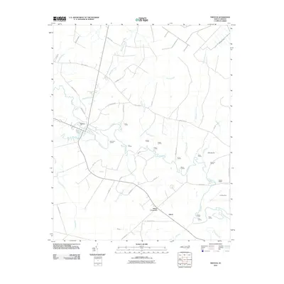
2010 Map of Trenton
USGS Topo · Published 2010About this map
The Trent River meanders through this landscape, serving as the primary geographic axis for the settlements of Trenton and Pollocksville. A dense network of river landings defines the local economy and history, including family-named sites like Foscue Landing, Murrill Landing, and Olivers Landing. These points of access, along with Horse Landing and White Bank Landing, reflect a long-standing reliance on the waterway for transportation and commerce in Jones County.
Find a feature on this map
46 named features on this map. Tap any name to fly to it.
Don’t see what you’re looking for? This feature index may not catch every label — zoom into the map to look around manually.
Map Details
Editions of this 2010 Trenton Map
This is the sole edition of this map. No revisions or reprints were ever made.
Other maps of this area

1901 · New Bern
USGS Topo · 1:62,500

1903 · New Bern
USGS Topo · 1:62,500

1903 · Trent River
USGS Topo · 1:62,500

1904 · Trent River
USGS Topo · 1:62,500

1942 · Maysville
USGS Topo · 1:62,500

1943 · Jacksonville
USGS Topo · 1:62,500

1948 · Maysville
USGS Topo · 1:62,500

1950 · Pollocksville
USGS Topo · 1:24,000

1953 · Rocky Mount
USGS Topo · 1:250,000

1953 · Beaufort
USGS Topo · 1:250,000