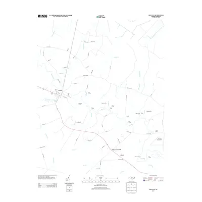
2013 Map of Trenton
USGS Topo · Published 2013About this map
The Trent River meanders through Jones County, anchoring a landscape defined by riverside activity and small-town growth as seen in this 2013 survey. The county seat of Trenton is situated near the fork of Crooked Run and the river, where Brock Pond marks the local geography. Downriver toward Pollocksville, a series of named landings—including White Bank Landing, Horse Landing, and Foscue Landing—point to the historical and modern importance of the river for transport and access.
Find a feature on this map
78 named features on this map. Tap any name to fly to it.
Don’t see what you’re looking for? This feature index may not catch every label — zoom into the map to look around manually.
Map Details
Editions of this 2013 Trenton Map
This is the sole edition of this map. No revisions or reprints were ever made.
Other maps of this area

1901 · New Bern
USGS Topo · 1:62,500

1903 · New Bern
USGS Topo · 1:62,500

1903 · Trent River
USGS Topo · 1:62,500

1904 · Trent River
USGS Topo · 1:62,500

1942 · Maysville
USGS Topo · 1:62,500

1943 · Jacksonville
USGS Topo · 1:62,500

1948 · Maysville
USGS Topo · 1:62,500

1950 · Pollocksville
USGS Topo · 1:24,000

1953 · Rocky Mount
USGS Topo · 1:250,000

1953 · Beaufort
USGS Topo · 1:250,000