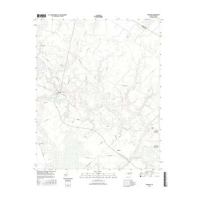
2016 Map of Trenton
USGS Topo · Published 2016About this map
Trenton serves as the central hub of this eastern North Carolina landscape, where the meandering Trent River defines the local topography. This 2016 survey shows a territory dominated by low-lying wetlands and pocosin environments, including the Island Branch Swamp and the southern reaches of the Great Dover Swamp. To the south, the White Oak Pocosin highlights the unique peatland ecosystems characteristic of the Atlantic Coastal Plain.
Find a feature on this map
54 named features on this map. Tap any name to fly to it.
Don’t see what you’re looking for? This feature index may not catch every label — zoom into the map to look around manually.
Map Details
Editions of this 2016 Trenton Map
This is the sole edition of this map. No revisions or reprints were ever made.
Other maps of this area

1901 · New Bern
USGS Topo · 1:62,500

1903 · New Bern
USGS Topo · 1:62,500

1903 · Trent River
USGS Topo · 1:62,500

1904 · Trent River
USGS Topo · 1:62,500

1942 · Maysville
USGS Topo · 1:62,500

1943 · Jacksonville
USGS Topo · 1:62,500

1948 · Maysville
USGS Topo · 1:62,500

1950 · Pollocksville
USGS Topo · 1:24,000

1953 · Rocky Mount
USGS Topo · 1:250,000

1953 · Beaufort
USGS Topo · 1:250,000