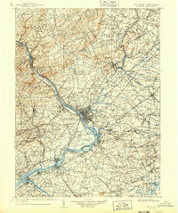
1907 Map of Trenton
USGS Topo · Published 1943About this map
The Delaware River serves as the central artery for this turn-of-the-century landscape, anchoring a complex network of industrial transport and established river towns. The state capital of Trenton sits at the nexus of several major rail lines, including the Pennsylvania Railroad and the Philadelphia and Reading Railroad, while the Delaware and Raritan Canal follows the riverbank northward toward Princeton and Kingston. This period of development shows a clear distinction between the dense urban settlements and the prominent ridges of Sourland Mountain and Baldpate Mountain that dominate the northern topography.
Find a feature on this map
226 named features on this map. Tap any name to fly to it.
Don’t see what you’re looking for? This feature index may not catch every label — zoom into the map to look around manually.
Map Details
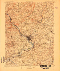
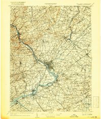
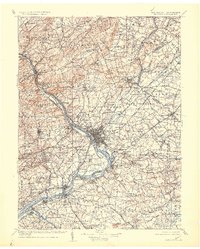
Editions of this 1907 Trenton Map
4 editions found
Other maps of this area

1884 · Whitings
USGS Topo · 1:62,500

1888 · Plainfield
USGS Topo · 1:62,500

1888 · Bordentown
USGS Topo · 1:62,500

1888 · Pemberton
USGS Topo · 1:62,500

1888 · New Brunswick
USGS Topo · 1:62,500

1888 · Mount Holly
USGS Topo · 1:62,500

1888 · Princeton
USGS Topo · 1:62,500

1888 · Cassville
USGS Topo · 1:62,500

1888 · Whitings
USGS Topo · 1:62,500

1890 · Easton
USGS Topo · 1:62,500