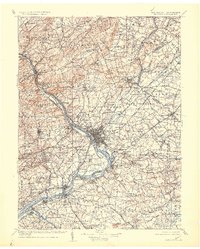
1907 Map of Trenton
USGS Topo · Published 1925About this map
The Delaware River serves as the central artery for this early twentieth-century portrait of Central Jersey and Eastern Pennsylvania, anchoring a dense network of industrial and agricultural hubs. From the manufacturing center of Trenton to the academic seat of Princeton, the landscape is defined by the convergence of major transportation corridors. The Pennsylvania RR and several electric lines, including the Trenton & New Brunswick Electric RR, trace the corridor between Philadelphia and New York, while the Amboy Division and Belvidere Division branch out to serve the river towns and hinterlands. To the north, the elevation rises sharply toward Sourland Mountain and Baldpate Mtn, offering a stark contrast to the low-lying plains around Bordentown and the winding course of the Rancocas River to the south. This survey captures the region just as the early electrical interurban lines were beginning to compete with established steam rail for regional dominance.
Find a feature on this map
329 named features on this map. Tap any name to fly to it.
Don’t see what you’re looking for? This feature index may not catch every label — zoom into the map to look around manually.
Map Details
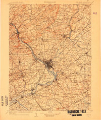
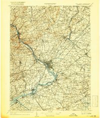
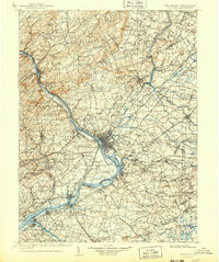
Editions of this 1907 Trenton Map
4 editions found
Other maps of this area

1884 · Whitings
USGS Topo · 1:62,500

1888 · Plainfield
USGS Topo · 1:62,500

1888 · Bordentown
USGS Topo · 1:62,500

1888 · Pemberton
USGS Topo · 1:62,500

1888 · New Brunswick
USGS Topo · 1:62,500

1888 · Mount Holly
USGS Topo · 1:62,500

1888 · Princeton
USGS Topo · 1:62,500

1888 · Cassville
USGS Topo · 1:62,500

1888 · Whitings
USGS Topo · 1:62,500

1890 · Easton
USGS Topo · 1:62,500