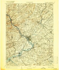
1907 Map of Trenton
USGS Topo · Published 1917About this map
The Delaware River serves as the central artery for this regional survey, dividing the bustling industrial centers of Trenton, New Jersey, and Morrisville, Pennsylvania. At this time, the landscape is defined by the sophisticated transport network of the Delaware & Raritan Canal and the Pennsylvania Canal, which parallel the river alongside the heavy rail infrastructure of the Pennsylvania Railroad. To the north, the terrain rises toward the prominent ridge of Sourland Mountain and the educational grounds of Princeton University and the Lawrenceville School.
Find a feature on this map
210 named features on this map. Tap any name to fly to it.
Don’t see what you’re looking for? This feature index may not catch every label — zoom into the map to look around manually.
Map Details
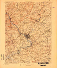
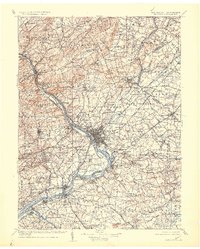
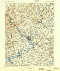
Editions of this 1907 Trenton Map
4 editions found
Other maps of this area

1884 · Whitings
USGS Topo · 1:62,500

1888 · Plainfield
USGS Topo · 1:62,500

1888 · Bordentown
USGS Topo · 1:62,500

1888 · Pemberton
USGS Topo · 1:62,500

1888 · New Brunswick
USGS Topo · 1:62,500

1888 · Mount Holly
USGS Topo · 1:62,500

1888 · Princeton
USGS Topo · 1:62,500

1888 · Cassville
USGS Topo · 1:62,500

1888 · Whitings
USGS Topo · 1:62,500

1890 · Easton
USGS Topo · 1:62,500