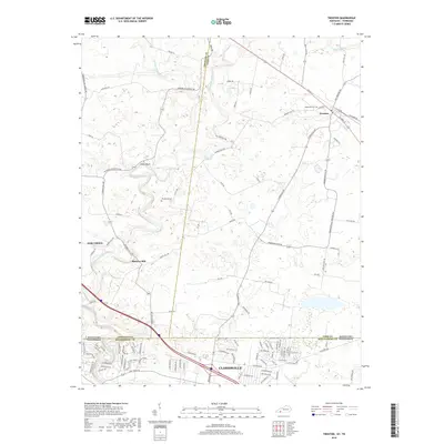
2019 Map of Trenton
USGS Topo · Published 2019About this map
The West Fork Red River meanders across the border between Kentucky and Tennessee, anchoring a region defined by agricultural history and early milling sites. North of the state line, the community of Trenton sits at the intersection of several historic routes, including North Main Street and Guthrie Street, near the Edgewood Cem. This area reflects the rural character of Todd and Christian counties, where family-named landmarks like Woodward Cem and property-defining roads such as Howard Dickerson Road mark the landscape.
Find a feature on this map
107 named features on this map. Tap any name to fly to it.
Don’t see what you’re looking for? This feature index may not catch every label — zoom into the map to look around manually.
Map Details
Editions of this 2019 Trenton Map
This is the sole edition of this map. No revisions or reprints were ever made.
Other maps of this area

1944 · Clarksville
USGS Topo · 1:50,000

1950 · Guthrie
USGS Topo · 1:24,000

1950 · Pembroke
USGS Topo · 1:24,000

1951 · Pembroke
USGS Topo · 1:24,000

1951 · Elkton
USGS Topo · 1:24,000

1951 · Hopkinsville
USGS Topo · 1:24,000

1951 · New Providence
USGS Topo · 1:24,000

1951 · Hammacksville
USGS Topo · 1:24,000

1951 · Clarksville
USGS Topo · 1:24,000

1951 · Oak Grove
USGS Topo · 1:24,000