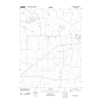
2012 Map of Trenton West
USGS Topo · Published 2012About this map
The Thompson River and its complex of tributaries, including Middle Creek and the Weldon River, define the landscape west of Trenton in this 2012 Missouri survey. The area is notable for its high concentration of family-named burial grounds, such as the Robert Peery, Sarah Peery, George Peery, and Evans Peery cemeteries, indicating deep roots for specific lineage in Grundy County. These sites are concentrated around the settlement of Edinburg, which serves as a central hub for the surrounding rural road network.
Find a feature on this map
81 named features on this map. Tap any name to fly to it.
Don’t see what you’re looking for? This feature index may not catch every label — zoom into the map to look around manually.
Map Details
Editions of this 2012 Trenton West Map
This is the sole edition of this map. No revisions or reprints were ever made.
Other maps of this area

1921 · Chillicothe
USGS Topo · 1:62,500

1922 · Gallatin
USGS Topo · 1:62,500

1923 · Chillicothe
USGS Topo · 1:62,500

1925 · Gilman
USGS Topo · 1:62,500

1946 · Gilman
USGS Topo · 1:48,000

1948 · Gilman
USGS Topo · 1:62,500

1948 · Trenton
USGS Topo · 1:62,500

1953 · Moberly
USGS Topo · 1:250,000

1954 · Centerville
USGS Topo · 1:250,000

1954 · Moberly
USGS Topo · 1:250,000