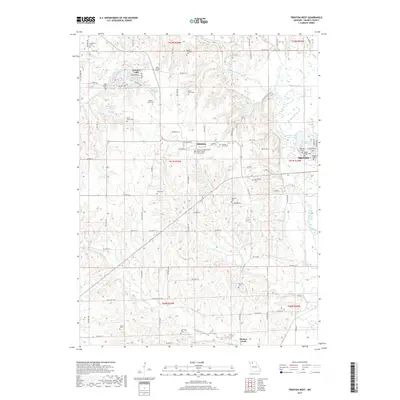
2017 Map of Trenton West
USGS Topo · Published 2017About this map
Edinburg serves as a central historic focal point of this Grundy County landscape, particularly notable for the Edinburg Independent Order of Odd Fellows Cem. The area is densely populated with family burial grounds, reflecting deep ancestral roots through sites like Evans Peery Cem, Robert Peery Cem, and George Peery Cem. These family-named landmarks are situated across a terrain defined by the winding Thompson River and the Weldon River fork. To the west, the residential development of Leisure Lake and the waters of Lake Wittona contrast with the rural cemetery-dotted hills. Near the eastern margin, the outskirts of Trenton include the Trenton City Reservoir and the Maple Grove Cem, illustrating the transition from open countryside to the county seat's periphery.
Find a feature on this map
102 named features on this map. Tap any name to fly to it.
Don’t see what you’re looking for? This feature index may not catch every label — zoom into the map to look around manually.
Map Details
Editions of this 2017 Trenton West Map
This is the sole edition of this map. No revisions or reprints were ever made.
Other maps of this area

1921 · Chillicothe
USGS Topo · 1:62,500

1922 · Gallatin
USGS Topo · 1:62,500

1923 · Chillicothe
USGS Topo · 1:62,500

1925 · Gilman
USGS Topo · 1:62,500

1946 · Gilman
USGS Topo · 1:48,000

1948 · Gilman
USGS Topo · 1:62,500

1948 · Trenton
USGS Topo · 1:62,500

1953 · Moberly
USGS Topo · 1:250,000

1954 · Centerville
USGS Topo · 1:250,000

1954 · Moberly
USGS Topo · 1:250,000