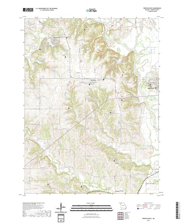
2021 Map of Trenton West
USGS Topo · Published 2021About this map
Edinburg sits as a central settlement amidst the agricultural terrain of Grundy County, characterized by a high density of family and institutional burial sites. The presence of the Edinburg Independent Order of Odd Fellows Cem and several Peery family plots, including the Evans Peery Family Cem, George Peery Cem, and Robert Peery Cem, offers significant detail for genealogical research. The landscape is defined by the branching waterways of the Thompson River, W Fork Wolf Cr, and E Fork Wolf Cr, which carve through the farmland. To the northwest, the residential enclave of Leisure Lake surrounds Lake Wittona, while the western outskirts of Trenton appear on the eastern margin. This contemporary survey records the enduring footprint of rural cemeteries like Bratton Cem and Sandridge Cem as they relate to the modern road network.
Find a feature on this map
91 named features on this map. Tap any name to fly to it.
Don’t see what you’re looking for? This feature index may not catch every label — zoom into the map to look around manually.
Map Details
Editions of this 2021 Trenton West Map
This is the sole edition of this map. No revisions or reprints were ever made.
Other maps of this area

1921 · Chillicothe
USGS Topo · 1:62,500

1922 · Gallatin
USGS Topo · 1:62,500

1923 · Chillicothe
USGS Topo · 1:62,500

1925 · Gilman
USGS Topo · 1:62,500

1946 · Gilman
USGS Topo · 1:48,000

1948 · Gilman
USGS Topo · 1:62,500

1948 · Trenton
USGS Topo · 1:62,500

1953 · Moberly
USGS Topo · 1:250,000

1954 · Centerville
USGS Topo · 1:250,000

1954 · Moberly
USGS Topo · 1:250,000