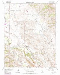
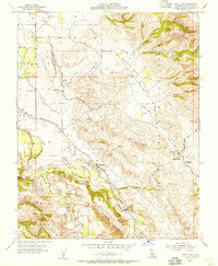
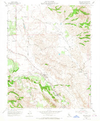
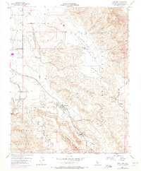
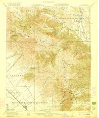
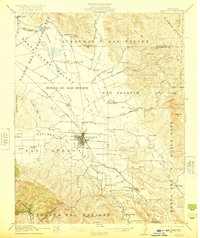
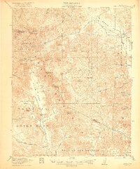
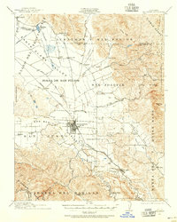
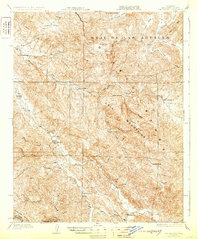
1955 Map of Tres Pinos
USGS Topo · Published 1986About this map
Tres Pinos serves as the focal point of this mid-century survey, situated where the valley floor meets the rising elevations of Swanson Bluff. The landscape is defined by the drainage systems of the San Benito River and Tres Pinos Creek, which carve through the Santa Ana Valley and Quien Sabe Valley. This 1955 map, revised in 1971, captures a rural infrastructure of school districts and ranching heritage, with Santa Ana School, Santa Anita School, and Indart Ranch anchoring the outlying lands.
Find a feature on this map
31 named features on this map. Tap any name to fly to it.
Don’t see what you’re looking for? This feature index may not catch every label — zoom into the map to look around manually.
Map Details
Editions of this 1955 Tres Pinos Map
4 editions found
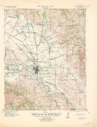
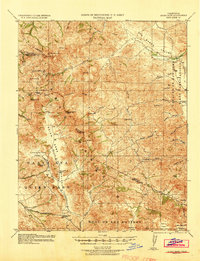
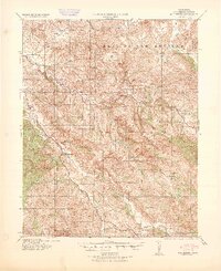
Other maps of this area

1919 · San Benito
USGS Topo · 1:62,500

1919 · Hollister
USGS Topo · 1:48,000
1921 · Gonzales
USGS Topo · 1:62,500
1921 · Hollister
USGS Topo · 1:62,500
1922 · Quien Sabe
USGS Topo · 1:62,500
1923 · Hollister
USGS Topo · 1:62,500
1931 · San Benito
USGS Topo · 1:62,500
1940 · Hollister
USGS Topo · 1:62,500
1940 · Quien Sabe
USGS Topo · 1:62,500
1940 · San Benito
USGS Topo · 1:62,500